This has been an interesting year. Although Spring supposedly started in March, think someone ignored the calendar. We have been in a long drought, broken up by an occasional cloud dropping less than a tenth of an inch of precipitation. We even had a brief snow as late as April 14th.
Our first hope came April 21st where we had a little over an inch of rain.
Rain would set out on the 7-10 day forecast at least 6 days out, then would disappear as it came closer. Then May 1st came into view. A slight risk slowly evolved. A tornado threat also appeared.
Before May 1st Kansas and Oklahoma had not had any tornadoes in 2018. The storm of May 1st stopped all that.
I watched the storms blow up the I70 highway.As they approached the I35 exchange I decided to run up north to see the storms.
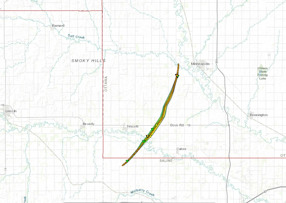
I passed Kanopolis lake and started seeing the storms and the gray haze from the storms. I headed out through Brookville then turned out toward Glendale and Tescott. This is the area SSW of Salina.

This I believe is when the storm was hitting Tescott,
Then this may have been near Culver.
The storm took some time after the tornadoes to build.
As the sun set, I noticed some clouds out to the west. These appeared very low to the ground, but losing available light, I was done chasing.
I watched the ground scrubbers off in the distance in the failing light. They were down mudsoaked roads and out of touch. I started to head back to I35 but a wreck and several power poles diverted me to other wet dirt and clay roads for a fun run back to the highway and a long drive home. The storms provided quite the light show as I drove off with almost constant lightning. I wished I could have pulled over and watched for a while, but I had an early morning the next day and would get home late enough.


 This I believe is when the storm was hitting Tescott,


