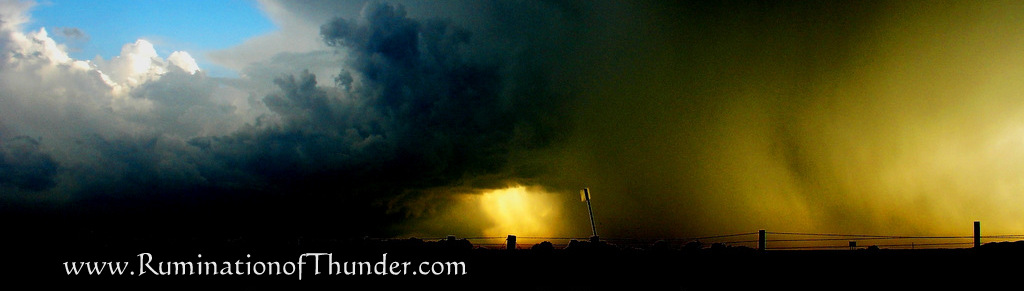
The reports for tomorrow are becoming more intense. Anytime you start getting outlooks like this, it usually means something major will occur. I know the broadcasters have been busting at the seams to report this, but even the National Weather Service seems a little worried about this.
There are so many variables that go into forecasting like this, that pre-warnings can go largely ignored. I know I've talked about high risk days that ended with pictures of pretty clouds with no substance.
The energy and moisture are in the atmosphere, winds are shooting every different direction with height (sheer), the timing will be the dryline and cold front colliding. This may start in Northern Oklahoma and end up crossing the border and affecting South Central or Southeast Kansas.
We will see what happens, hopefully I'll be in the middle of it providing pictures. Maybe Vortex 2 will make an appearance.

2 comments:
We'll listen for you on the radio.
hopefully it's not me saying oops.
Post a Comment